Find a place
Submit a place or address search, choose a result, or drop a pin directly on the map.
Search places worldwide, explore nearby, switch to U.S. aerial imagery and keep your own saved locations.
Also known as STATIC Maps world map, STATIC Maps directions
ENTER STATIC MAPS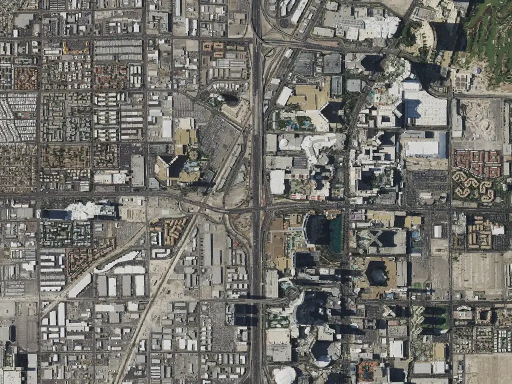
INSIDE STATIC MAPS
Explore an interactive worldwide street map, search addresses and places, and find nearby food, coffee, shops, fuel, parking or stays. Keep places in this browser and plan driving, walking or cycling routes inside STATIC Maps.
Submit a place or address search, choose a result, or drop a pin directly on the map.
Pan and zoom OpenStreetMap street maps worldwide. Switch to historical USDA / USGS aerial imagery in covered U.S. areas.
Search six place categories within two kilometers of the map area. Listings depend on available OpenStreetMap records.
Save places and revisit place history in this browser. Share a link to a chosen location.
Choose a start, destination and travel mode. View the calculated route, distance, estimated time and turn instructions in STATIC Maps.
Routing estimates are not live traffic ETAs. This release has no continuous GPS guidance, automatic rerouting, real-time road closures, transit schedules or 3D street-level view.
Aerial imagery covers available U.S. areas, is historical and two-dimensional, and is not live imagery. Search and nearby results depend on external data and service availability.
Saved places and history stay in this browser, separate from a STATIC account. My location requests a single browser-permitted reading rather than continuous tracking.