Earth Cells
Spatial cells organize the planetary model across resolutions.
A source-grounded, versioned spatial model of Earth that improves from a continuous planetary base to detailed living twins.
Also known as EarthMesh, STATIC EARTHMESH
EXPLORE STATIC EARTHMESH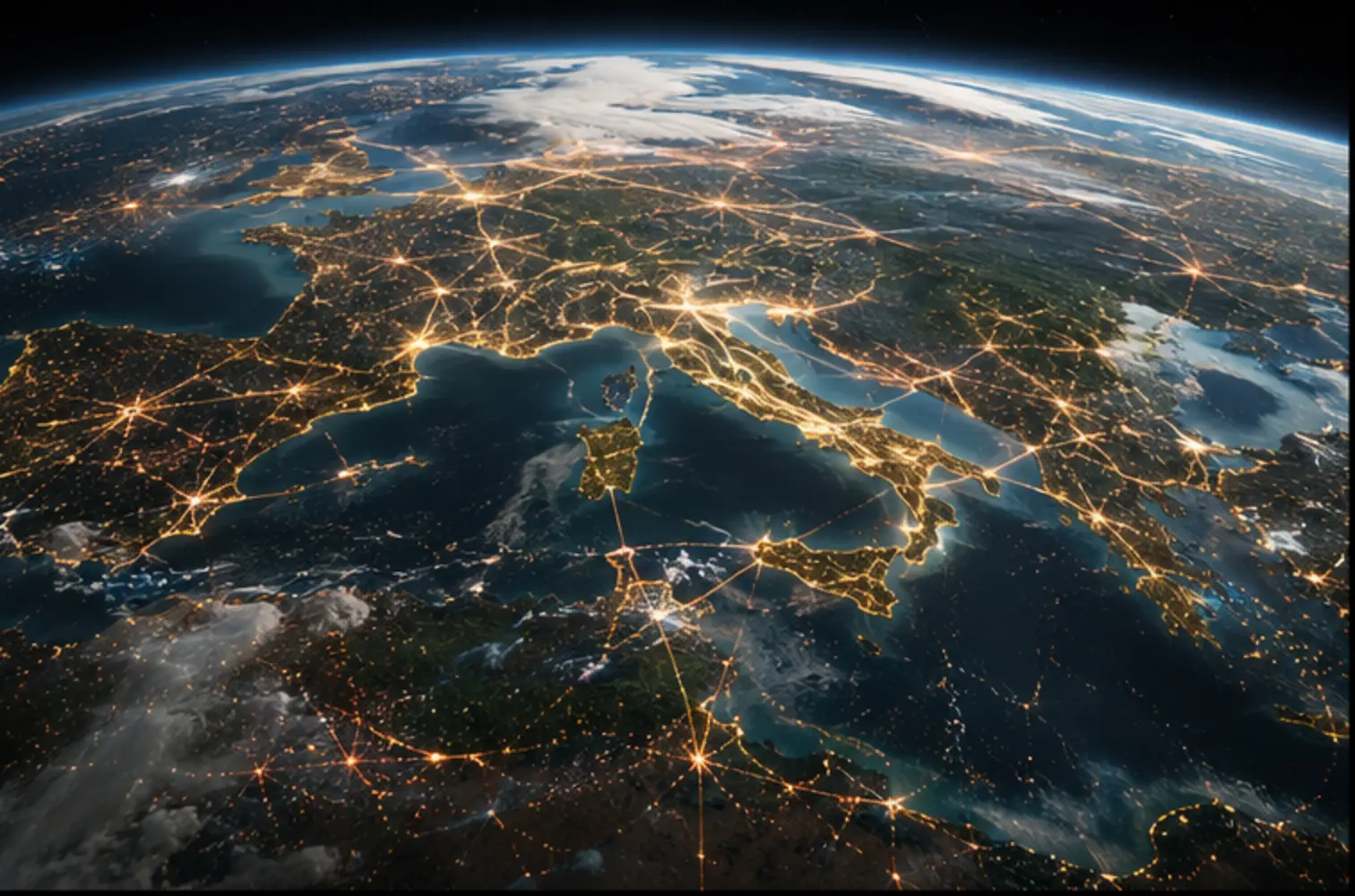
INSIDE STATIC EARTHMESH
EarthMesh gives physical places a stable spatial identity across changing data and levels of detail. Geometry, environmental layers, provenance, rights and time remain queryable as the same place improves throughout the network.
Spatial cells organize the planetary model across resolutions.
A place or physical entity retains identity as observations and representations change.
Each input carries its origin, rights and appropriate use context.
Terrain, buildings, interiors and other layers communicate their individual fidelity.
Changes retain observed, ingested, valid and superseded times.
Spatial and temporal questions can be answered from structured layers rather than a single flattened image.
Maps owns routing; EarthWalk owns the journey; Earth interprets environmental conditions; EarthMesh establishes where those conditions and places are.
Generated completion remains distinguishable from observation. A planetary model does not become an automatic people-tracking system or a substitute for a specialist safety stack.